In this advanced course for
spatial analysis, students will get in touch with more complex spatial
problems. These will also be more closely linked to real world
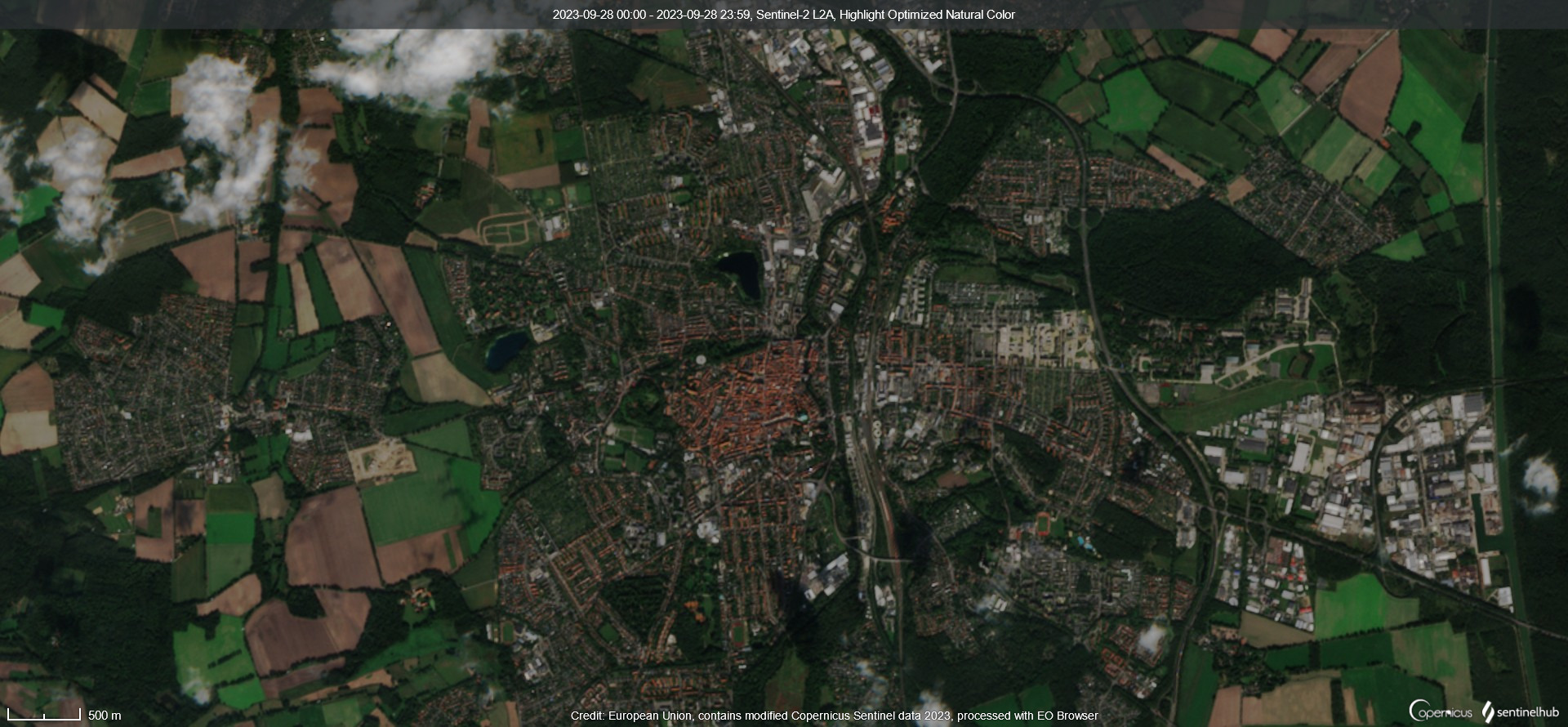
socio-environmental problems. As examples, we aim to deal with spatial
interpolations and basics of remote sensing and land cover
classification and land cover change detection. Apart from the
application of these methods, we will also discuss their theoretical
background and closely look at the uncertainties which come along with
them. The focus of this course will be the application of QGIS.
Additionally we will look at other software such as Google Earth Engine.
It is therefore necessary that students have completed an introductory
course to GIS and spatial data. The aim is to learn how to asses spatial research questions and real world problems and to apply spatial analysis of remote sensing data.
- Teacher: Christoph Maximilian Schwenck